Project ID 2215
Remote Sensing Data and Tools Framework for Haliburton Highlands Land Trust .
Project Overview
This project involves the collection and storage of Remote Sensing data and their information available on various websites as requested by our client Mr. Ralph Baehre for the Haliburton Highlands Land Trust (HHLT) in a PostgreSQL or Postgres database. Several automated workflows are also created so that the members of HHLT lacking a background in GIS (Geographic Information System) can easily perform the same types of habitat suitability analysis on new sets of data on the open source software QGIS.
Meet Our Client.
Haliburton County is the upper-tier municipal government that is comprised of four lower-tier municipalities. The County of Haliburton is over 4,000 square kilometres in size. Better known as the Haliburton Highlands, it is one of the higher points on the Canadian Shield and is known for its beauty and over 500 lakes. Ten percent of the county is located within Algonquin Park.The GIS department specialists that we were in contact with are R & C Baehre and Greg Wickware.
Source: County of Haliburton Website (https://www.haliburtoncounty.ca/en/index.aspx).
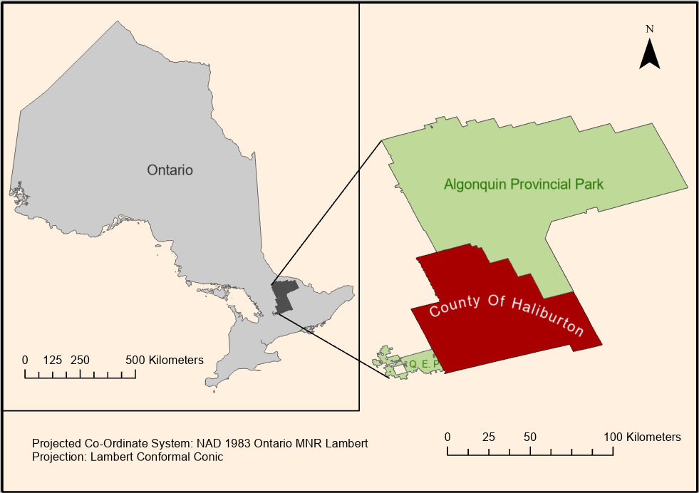
Location of Study Area.
The study area for this project covers the county of Haliburton extending Northward to include Algonquin Provincial Park and extending Southward to include Queen Elizabeth II Provincial Park as proposed by our client.
Our Major Project Components

Remote Sensing

Spatial Database

Spatial Analysis

Cartographic Vizualization