About Me
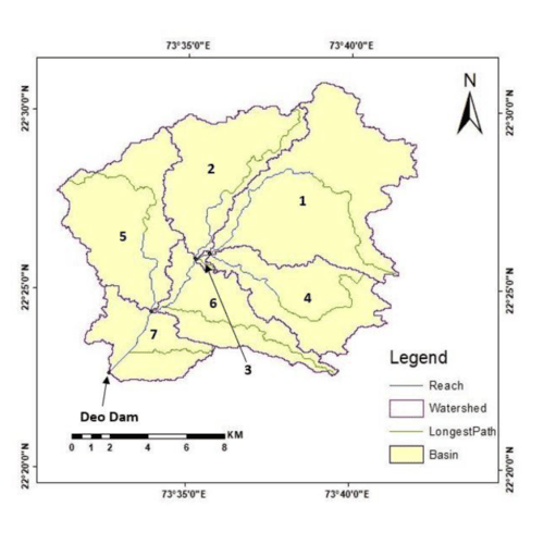
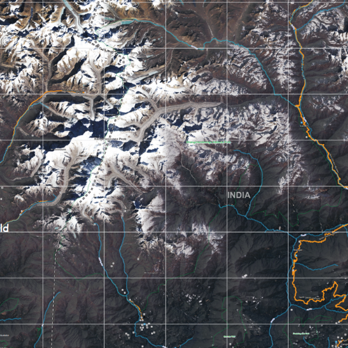
After graduating with Masters in Civil Engineering (Water Resources Engineering) at the prestigious university of the Maharaja Sayajirao University of Baroda in 2019, I developed interest in GIS during the research project on rainfall-runoff model of a river basin in India. While pursuing graduate certificate in GIS at Fleming College (Canada), I was able to gain the real-world experience in the GIS industries. After enhancing my GIS technical skills in database development, spatial analysis, cartography, programming, and web mapping solutions, I am looking forward to integrate them with the software technology to provide powerful and innovative solutions for optimizing the water resources to the world.
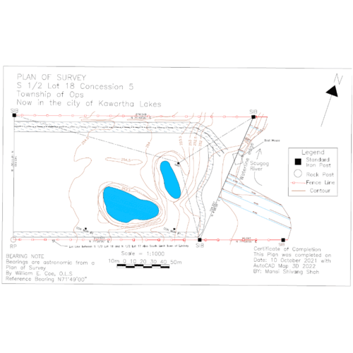
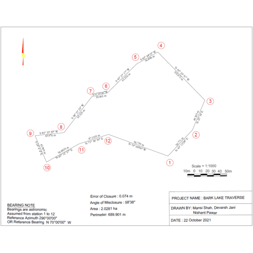
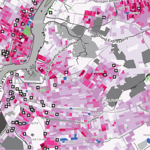
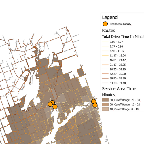
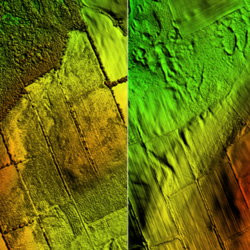
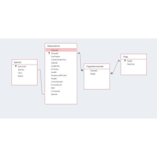
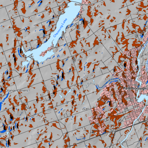
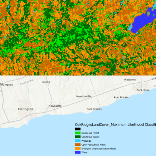
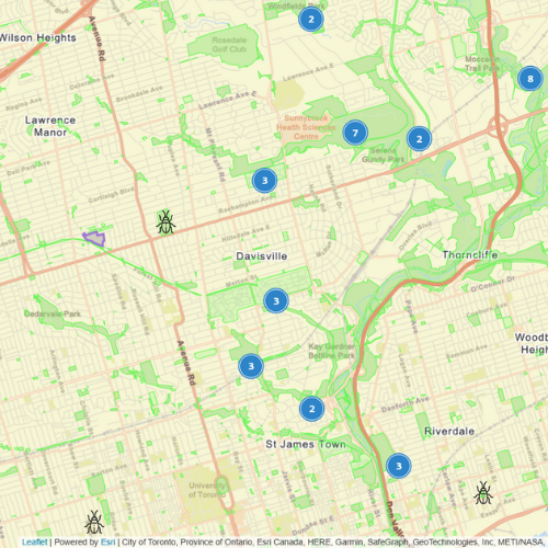
Projects
![City of Kawartha Lakes Survey Plan](summary/water.png)
![City of Kawartha Lakes Survey Plan](summary/survey.png)
![Survey Traverse Plan](summary/traverse.png)
![Medical Facilities In New York City Amongst Covid-19](summary/covid.png)
![Terrain Visualization](summary/Terrain.png)
![Closest Facility & Service Area Network Analysis](summary/ServiceArea.png)
![LiDAR Derived Raster Products](summary/lidar.png)
![SQL and Access Database](summary/relation.png)
![Python Programming Basics](summary/PythonB.png)
![Drone Flight Survey Plan](summary/drone.png)
![Infographic Map](summary/info.png)
![Pan-Sharpening of Spatial Imagery](summary/PanSharp.png)
![Google Maps](summary/GMaps.png)
![ArcPy Example](summary/ArcPy.png)
![Collaborative Project](summary/Collab.png)
![Different-Mapping-Techniques](summary/linemap.png)
![Interpolation-with-the-Spatial-Analyst-Extension-in-ArcGIS-Pro](summary/Interpolation.png)
![Multi-Spectral Land Cover Classification](summary/LCC.png)
![Interactive Web Map](summary/Leaflet.png)
![Website Design](summary/Website.png)